🗺️ Chapter 10: Canada's Regions
10.1.1 Canada's Size and Borders
2 paragraphs · 4 questions
Canada is the second largest country in the world. It covers about 10 million square kilometres. Water borders it on three sides. The Pacific Ocean lies to the west. The Atlantic Ocean lies to the east. The Arctic Ocean lies to the north. In the south, Canada shares a land border with the United States. The two countries work together to keep that border safe, secure and efficient. So Canada is edged by three oceans and by one neighbouring country.
Key Facts
- Second largest country on earth, about 10 million sq km
- Pacific in the west, Atlantic in the east, Arctic in the north
- Southern edge is the border with the United States
- Both countries want a safe, secure, efficient frontier
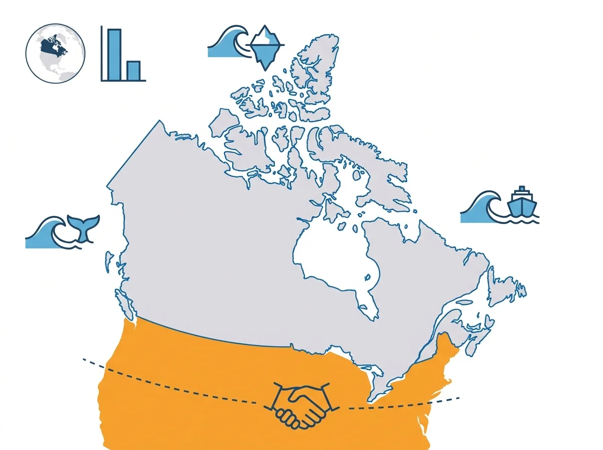
Canada contains many different geographical areas, and it is divided into five regions. The Atlantic Provinces sit on the east coast. Central Canada lies around the Great Lakes and the St. Lawrence River. The Prairie Provinces stretch across the middle of the country. The West Coast is the Pacific side. The Northern Territories cover the far north. Learn these five names first. Every province and territory belongs to one of them, so the rest of the map becomes much easier to hold in your head.
Key Facts
- Five regions: Atlantic, Central Canada, Prairies, West Coast, North
- Atlantic region is on the east coast; West Coast faces the Pacific
- Central Canada sits by the Great Lakes and St. Lawrence River
- The Northern Territories cover Canada's far north
Test yourself on this topic
4 practice questions from “Canada's Size and Borders”, each with the answer explained.
- Where does Canada rank in size among the world's countries?
- Canada is bordered by which three oceans?
- What lies along Canada's southern edge?
- Canada is commonly divided into how many geographic regions?
Advertisement